The World’s Leading Resilience Platform
Achieve your resilience goals and mitigate weather risk for any operational scenario.
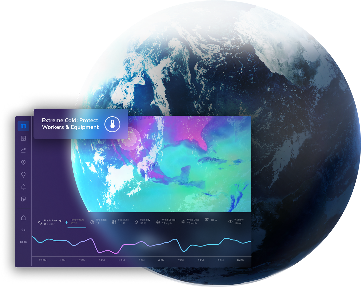
Protect Your Business from the #1 Global Threat
- Climate change is causing more volatile weather on a daily basis
- Traditional forecasts fail to enable proactive decisions
- Without a resilience strategy, organizations are vulnerable
Power Intelligent, Automated Resilience
with Cutting-Edge Technology
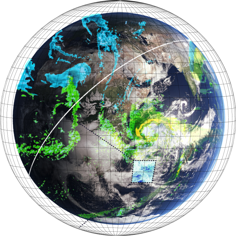
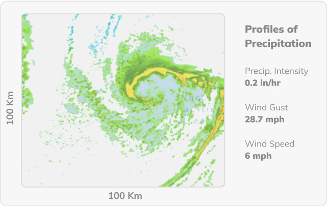
- Harness global constellation data from space
- Leverage proprietary AI/ML models
- Uncover insights with unmatched precision
- Activate superior decision-making immediately
Accelerate Digital Transformation
and Meet Operating Goals
- Eliminate manual processes with ready-to-deploy dashboards
- Scale solutions efficiently for every industry and role
- Achieve critical outcomes like disaster recovery, compliance, and competitive advantage
Integrate and Adapt with the World’s Leading Weather API
Get fast, reliable, and hyper-accurate weather data for any location in the world in easy JSON format.
Learn More about Weather APIReal Time
Integrate cutting-edge, real-time weather data directly into your applications.
Weather Forecast API
Historical Weather API
curl --request GET
--url 'https://api.tomorrow.io/v4/weather/realtime?location=toronto&apikey=XXX'
--header 'accept: application/json'{
"data": {
"time": "2023-02-14T13:53:00Z",
"values": {
"cloudBase": null,
"cloudCeiling": null,
"cloudCover": 5,
"dewPoint": -0.19,
"freezingRainIntensity": 0,
"humidity": 100,
"precipitationProbability": 0,
"pressureSurfaceLevel": 1005.56,
"rainIntensity": 0,
"sleetIntensity": 0,
"snowIntensity": 0,
"temperature": 0.31,
"temperatureApparent": 0.31,
"uvHealthConcern": 0,
"uvIndex": 0,
"visibility": 14.43,
"weatherCode": 1000,
"windDirection": 278.31,
"windGust": 1.19,
"windSpeed": 1.19
}
},
"location": {
"lat": 43.653480529785156,
"lon": -79.3839340209961,
"name": "Old Toronto, Toronto, Golden Horseshoe, Ontario, Canada",
"type": "administrative"
}
}


Customizable Insights for Every Industry

Aviation
Minimize safety risks while optimizing schedules and flight paths for improved operations.
AviationTransportation
Reduce delays and keep drivers safer by knowing what to expect on every route.
Transportation Solutions Page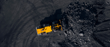
Construction
Protect crews, ensure continuous operations, and monitor all sites from one central location.
Construction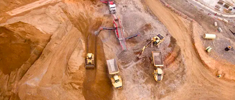
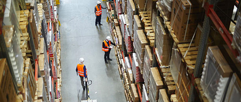
Retail
Mitigate supply chain disruptions, optimize inventory management, and ensure resilient operations.
Retail
Government
Improve early warning and operational decision-making across all levels of government.
Government and Defense


