Featured Case Study
How Shipt Uses Weather Intelligence to Deliver World-Class Customer and Shopper Experiences
See How Tomorrow.io Helps Companies
Rise Above the Weather
How CHS is Weatherproofing Agricultural Supply Chains Against Climate Disruption
Read Story ›

How the Bahamas is Safeguarding Against Rising Climate Threats
Read Story ›

Advanced Weather Technology Tomorrow.io Allows Walbridge to Adapt to Hazardous Conditions
Read Story ›

How Brazil's Biggest Airline Adapts to Changing Conditions Across 150 Locations with Tomorrow.io
Read Story ›
How Ford Performance Racing Gains a Competitive Edge with Weather Intelligence
Read Story ›
Read Story ›
How Fox Sports Enhances the Sports Broadcast Experience With the Help of Tomorrow.io
Read Story ›
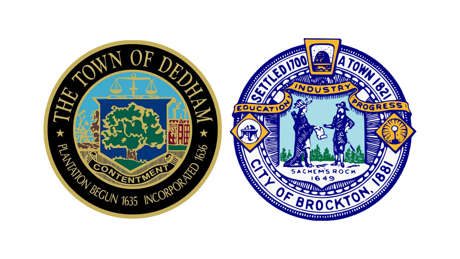
How Two Massachusetts Municipalities Saved 30% On Resource Management With Tomorrow.io

Ford Hybrid-Electric Vehicles Use Tomorrow.io for Better Urban Air Quality
Read Story ›
Read Story ›

How Uber and On-Demand Companies Drive Revenue with Tomorrow.io’s Predictive Weather Platform
Read Story ›
How the Patriots Plan to Increase Sales 20% Using the Weather
How Google Uses Weather Intelligence to Unlock New Revenue Streams
Read Story ›
Read Story ›