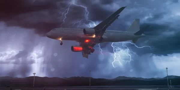
The inspection and monitoring of infrastructure has traditionally been conducted with static surveillance cameras or manned patrols in the air or on the ground. Today, unmanned aerial systems are a rapidly emerging technology with over $3b in investment funding and can facilitate safer and more cost-effective monitoring of utilities, public works, civil infrastructure, as well as commercial and private property. However, unmanned aerial vehicles are especially susceptible to precipitation, wind, and adverse weather in general. Infrastructure monitoring operations demand consistency; a lack of weather information poses a challenge to maintaining inspection capabilities of reliable frequency and predictable quality.
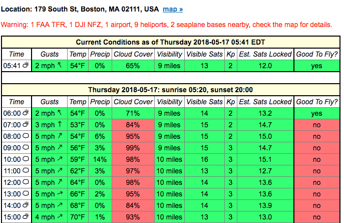
Caption: a popular drone forecasting site, www.uavforecast.com uses cloud cover to influence “Good to Fly?” evaluations.
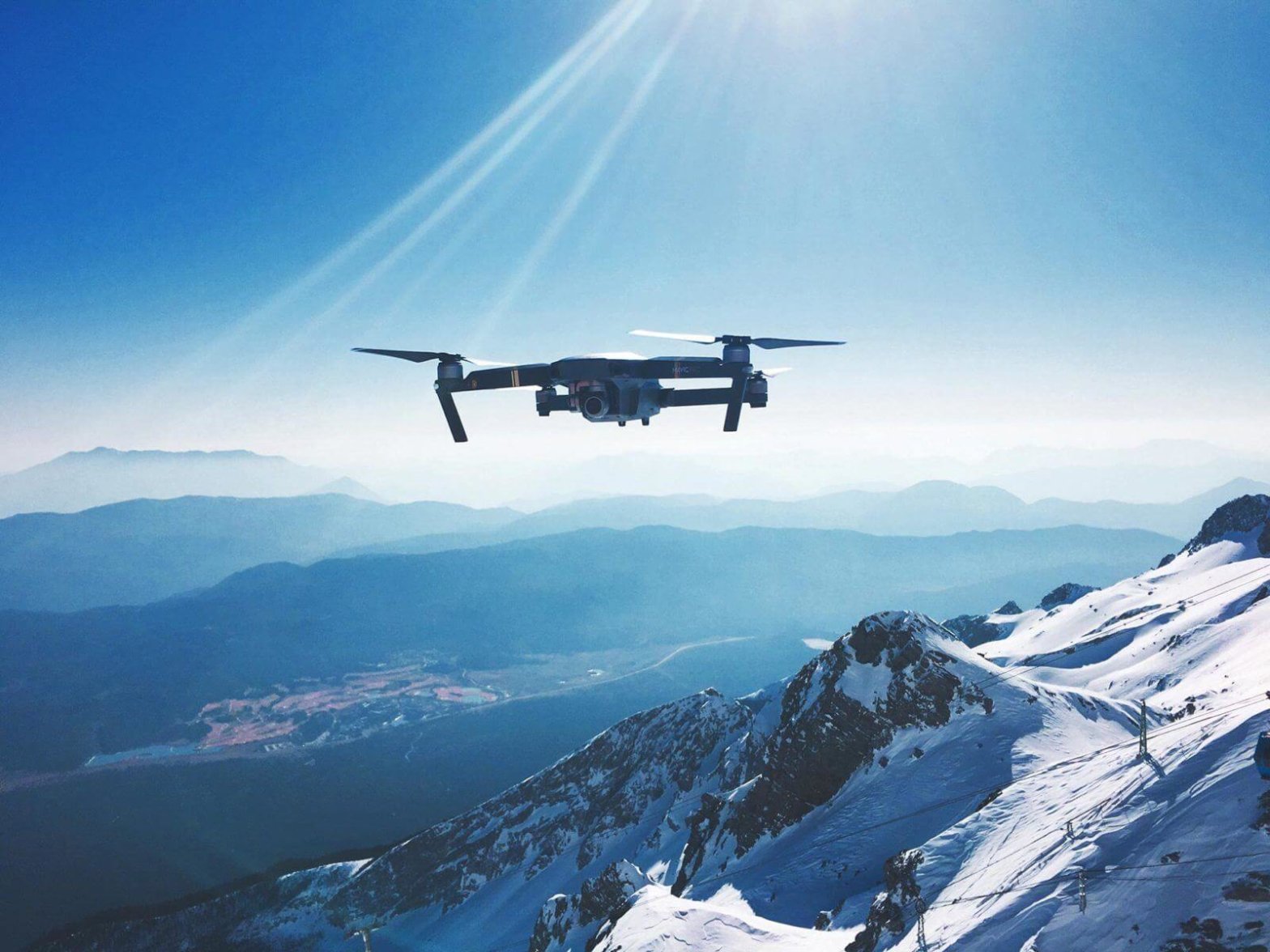
Fully and semi-autonomous camera-equipped drones are now used to monitor power lines, telecommunications lines, oil and gas pipelines and passenger and cargo transportation systems including highways and railroads. Today, short-range drone pilots located within visual line of sight (VLOS) of the drone make weather-based decisions in real-time based on traditional forecasts and visible conditions. Long-range beyond visual line of sight (BVLOS) operations are needed as well and remote drone operators require accurate real-time and forecast MicroWeather information to complete their missions successfully.
Fast-moving unmanned aerial vehicles operate at low altitudes, especially when performing infrastructure inspections, and need forecasts for their altitude and pinpoint location at any given time. Yet, traditional weather forecasts are based on data from 1000m up or more, and refresh far too slowly to provide minute-by-minute weather information at any altitude.
Real-time weather observations and minute-by-minute nowcasting can extend the range of drone missions. Moreover, such MicroWeather forecasting can help refine the “go/no-go” decisions that often leave drones grounded for fear of cloud cover. By partnering with companies that specialize in low-altitude MicroWeather for software integrations, utilities, public works, and anyone with outdoor infrastructure to surveil can benefit from more streamlined UAS missions.
Learn more about how Tomorrow.io’s MicroWeather forecasts help solve the weather challenge for UAS.